") Why Maritime Spatial Planning?
Why Maritime Spatial Planning?
")
The Baltic Sea is a special environment. It requires extra care. With expanding activities such as offshore wind energy parks and growing shipping traffic, an increasing number of users compete for a share of its limited space, which thus becomes scarcer and more valuable. Since we cannot do anything about increasing the space, we must plan for its use in a systematic and coordinated way, and this not only for existing uses but also anticipating future needs.
Maritime Spatial Planning (MSP) has become the widely acknowledged and necessary tool for coordinating and balancing the spatial use of the sea. It aims to balance the interests of often competing sectors so that the marine space and resources are used efficiently and sustainably.
 Multi-Level Governance in MSP
By its very nature, MSP requires a multi-level governance approach, as it based on consideration of the interests of the various sectors concerned. These interests are in turn expressed at all governance levels, from individual interests up to those of local, regional, national as well as transnational bodies.
Spatial planning for the sea and spatial planning for the land should also be tightly interlinked, consistent and supportive of each other. Simultaneously, planners need to take into account the basic underlying transnational structures, which are planned at a pan-Baltic level. These should form the backbone of each national or regional MSP. Nature protection areas, grid connections for offshore wind parks, shipping lanes but also blue corridors for fish are classic examples of planning considerations that transcend national borders and should be agreed on through a transnational consultation process.
Why PartiSEApate?
MSP is a new policy instrument. Relatively little practical experience and examples existed on how to satisfy all the requirements necessary to achieve a sustainable MSP: land-sea integration, transnational consultation, ecosystem based approach, stakeholder participation. Therefore, the responsible bodies for MSP throughout the Baltic Sea Region joined forces within the project PartiSEApate in order to develop a pan-Baltic approach to those topics whose spatial dimension transcends national borders and to develop a concept for an MSP institutional framework and governance model which shall provide input to policy decisions.
 PartiSEApate tested and developed instruments and models for how such MSP multi-level governance mechanisms can be realized in the BSR within:
- An MSP Expert Group consisting of experts nominated by the project partner countries, other BSR countries, VASAB and HELCOM.
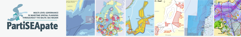
- Three pilot case areas: the Pomeranian Bight (SE, DE, PL), the Lithuanian Sea (LT, LV, SE, RU), and the Middle Bank (SE, PL).
- A transnational stakeholder involvement process focused around cross-sectoral dialogues, during which synergies and conflicts were identified and proposals for future MSP and pan-Baltic level governance processes were developed.
Please download the PartiSEApate Flyer here.